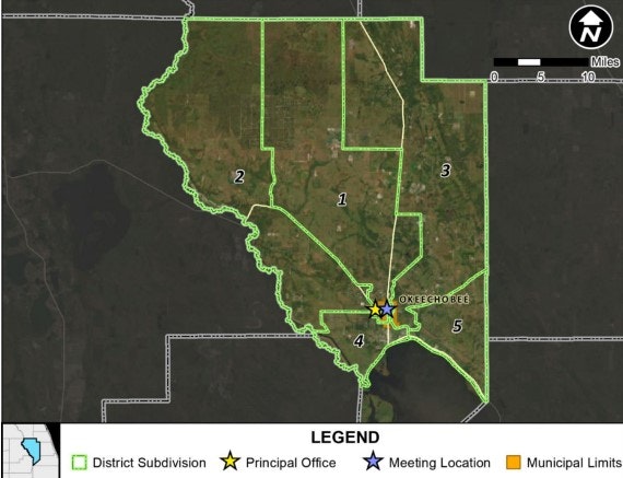
Service Area and District Map
As Florida’s population continues to increase, there are more impacts to and competition for Florida’s natural resources. Okeechobee County’s west boundary being the Kissimmee River and its southern border the United States’ second largest freshwater lake (Lake Okeechobee). Agriculture is primary land use in the county. The different soil map units of the county are mostly poorly drained. These factors make it imperative that our local producers receive services that help them address natural resource concerns and the public become educated on the watersheds they reside in.
OSWCD primary service are is Okeechobee, however we service the following areas due to agreements and contracts with local, state, and federal agencies: Okeechobee and Glades counties, and the counties within the Northern Everglades and Estuaries Protection Area (NEEPA), Lake Okeechobee Basin Management Action Plan (BMAP), St. Lucie River and Estuary BMAP, Indian River Central BMAP, and the Caloosahatchee River and Estuary BMAP areas.